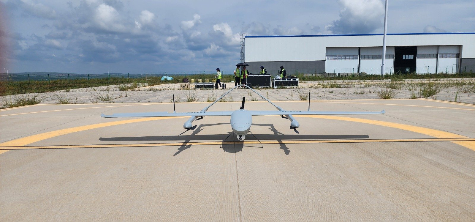
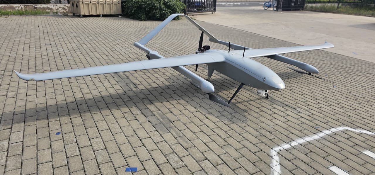
SkyForge Drone
The Ultimate 3-in-1 Aerial Solution for Surveillance, 3D Mapping, and Point Cloud Precision
Revolutionize Your Operations with Unmatched Efficiency and Precision.
The SkyForge Drone is engineered to simplify complexity and deliver results faster than ever. Combining advanced surveillance, high-resolution 3D mapping, and accurate point cloud generation into a single, seamless system, it’s the ultimate tool for government agencies, construction companies, and environmental researchers who demand precision without compromise.
Why Choose SkyForge Drone ?
3-in-1 System :
One drone, three powerful capabilities -surveillance, 3D mapping, and point cloud generation.
Pinpoint Precision:
Capture every detail with unmatched accuracy, ensuring reliable data for critical decision-making.
Faster, Simpler, Smarter:
Streamline workflows with intuitive technology that eliminates complexity and maximizes efficiency.
Long-Range Performance:
Tackle large-scale projects with confidence, thanks to extended flight times and superior range.
Solve Complex Challenges with Ease
From monitoring critical infrastructure to mapping vast terrains and analyzing environmental changes, the SkyForge Drone transforms complicated tasks into streamlined processes. It’s not just a drone—it’s your partner in innovation, designed to deliver results that matter.
Experience the Future of Aerial Technology
Ready to elevate your operations? Contact our sales team today to learn how the SkyForge Drone can empower your projects with speed, simplicity, and precision